Track running east from High Lane
Introduction
The photograph on this page of Track running east from High Lane by Christine Johnstone as part of the Geograph project.
The Geograph project started in 2005 with the aim of publishing, organising and preserving representative images for every square kilometre of Great Britain, Ireland and the Isle of Man.

There are currently over 7.5m images from over 14,400 individuals and you can help contribute to the project by visiting https://www.geograph.org.uk
Track running east from High Lane
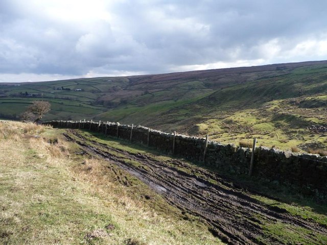
Image: © Christine Johnstone Taken: 1 Mar 2014
Part of the walking Englishman's Wainman's Pinnacle and Lund's Tower Walk http://www.walkingenglishman.com/leedsharrogate14.htm .
Images are licensed for reuse under creativecommons.org/licenses/by-sa/2.0
Image Location
Latitude
53.87491
Longitude
-2.053958