Scotsburn Road, Tain
Introduction
The photograph on this page of Scotsburn Road, Tain by Mary and Angus Hogg as part of the Geograph project.
The Geograph project started in 2005 with the aim of publishing, organising and preserving representative images for every square kilometre of Great Britain, Ireland and the Isle of Man.

There are currently over 7.5m images from over 14,400 individuals and you can help contribute to the project by visiting https://www.geograph.org.uk
Scotsburn Road, Tain
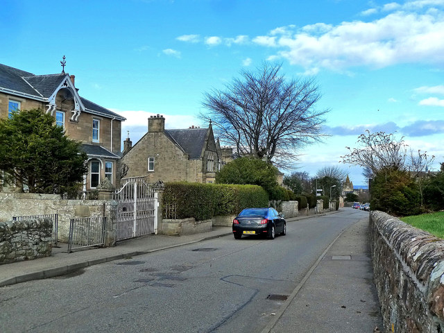
Image: © Mary and Angus Hogg Taken: 25 Feb 2014
Looking downhill past large detached houses in Scotsburn Road. The old Tolbooth is shown at the far end of the road, in the next square.
Images are licensed for reuse under creativecommons.org/licenses/by-sa/2.0
Image Location
Latitude
57.810153
Longitude
-4.057446