M25 widening
Introduction
The photograph on this page of M25 widening by Ian Capper as part of the Geograph project.
The Geograph project started in 2005 with the aim of publishing, organising and preserving representative images for every square kilometre of Great Britain, Ireland and the Isle of Man.

There are currently over 7.5m images from over 14,400 individuals and you can help contribute to the project by visiting https://www.geograph.org.uk
M25 widening
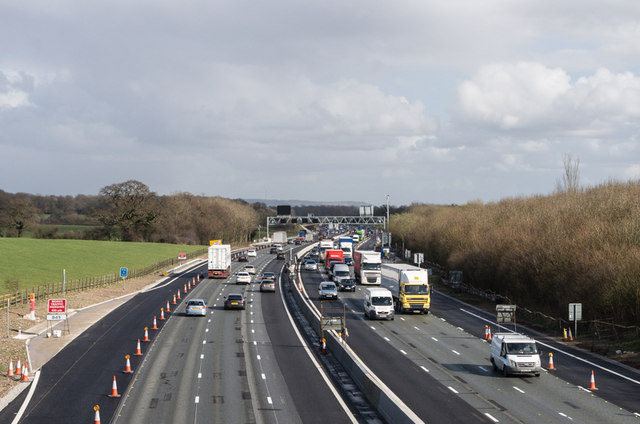
Image: © Ian Capper Taken: 26 Feb 2014
A zoomed in view of the scene in Image, showing the emergency refuge on the left of the photo now completed and the fully installed gantry in the background. Compare Image for a similar view a month or so previously. For slideshow of photos throughout the works, see http://www.geograph.org.uk/search.php?i=48513555&page=1&displayclass=slide.
Images are licensed for reuse under creativecommons.org/licenses/by-sa/2.0
Image Location
Latitude
51.276472
Longitude
0.077139