Beck, bridge and trees
Introduction
The photograph on this page of Beck, bridge and trees by John Beal as part of the Geograph project.
The Geograph project started in 2005 with the aim of publishing, organising and preserving representative images for every square kilometre of Great Britain, Ireland and the Isle of Man.

There are currently over 7.5m images from over 14,400 individuals and you can help contribute to the project by visiting https://www.geograph.org.uk
Beck, bridge and trees
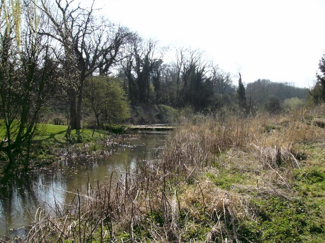
Image: © John Beal Taken: 2 Apr 2007
This is the view looking south west beyond the Old Mill, showing clearly Waithe Beck, a wooden bridge and beyond the bridge a pool-cum-lake that must have been a kind of storage facility that the Mill must have used.
Images are licensed for reuse under creativecommons.org/licenses/by-sa/2.0
Image Location


Leaflet Map data © OpenStreetMap
Latitude
53.504217
Longitude
-0.149062