Learg nan Lunn road
Introduction
The photograph on this page of Learg nan Lunn road by Alan O'Dowd as part of the Geograph project.
The Geograph project started in 2005 with the aim of publishing, organising and preserving representative images for every square kilometre of Great Britain, Ireland and the Isle of Man.

There are currently over 7.5m images from over 14,400 individuals and you can help contribute to the project by visiting https://www.geograph.org.uk
Learg nan Lunn road
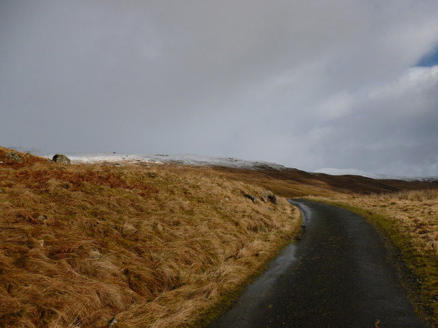
Image: © Alan O'Dowd Taken: 1 Mar 2014
This road rises in a series of switchbacks above Glen Lochay. It was originally built to serve the hydro-electric schemes in Glen Lochay and Glen Lyon.
Images are licensed for reuse under creativecommons.org/licenses/by-sa/2.0
Image Location
Latitude
56.496762
Longitude
-4.493655