East Leigh Cross
Introduction
The photograph on this page of East Leigh Cross by Derek Harper as part of the Geograph project.
The Geograph project started in 2005 with the aim of publishing, organising and preserving representative images for every square kilometre of Great Britain, Ireland and the Isle of Man.

There are currently over 7.5m images from over 14,400 individuals and you can help contribute to the project by visiting https://www.geograph.org.uk
East Leigh Cross
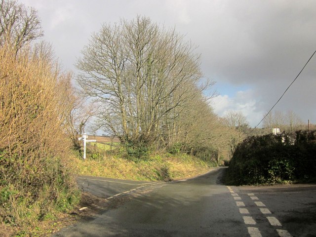
Image: © Derek Harper Taken: 26 Feb 2014
A crossroads of lanes above the Harbourne River valley. the hamlet of East Leigh (see Image]) is off to the right; left is for Langford farm, straight on for Harberton. See also Image] and Image
Images are licensed for reuse under creativecommons.org/licenses/by-sa/2.0
Image Location


Leaflet Map data © OpenStreetMap
Latitude
50.411739
Longitude
-3.738926