River Isla, Coupar Angus
Introduction
The photograph on this page of River Isla, Coupar Angus by Richard Webb as part of the Geograph project.
The Geograph project started in 2005 with the aim of publishing, organising and preserving representative images for every square kilometre of Great Britain, Ireland and the Isle of Man.

There are currently over 7.5m images from over 14,400 individuals and you can help contribute to the project by visiting https://www.geograph.org.uk
River Isla, Coupar Angus
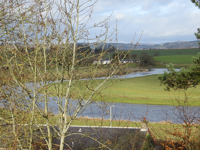
Image: © Richard Webb Taken: 22 Feb 2014
High water levels, but much of the recent precipitation is still sitting on the hills as snow.
Images are licensed for reuse under creativecommons.org/licenses/by-sa/2.0
Image Location
Latitude
56.549343
Longitude
-3.280231