River Clyde at Castlebank near Lanark
Introduction
The photograph on this page of River Clyde at Castlebank near Lanark by Jim Barton as part of the Geograph project.
The Geograph project started in 2005 with the aim of publishing, organising and preserving representative images for every square kilometre of Great Britain, Ireland and the Isle of Man.

There are currently over 7.5m images from over 14,400 individuals and you can help contribute to the project by visiting https://www.geograph.org.uk
River Clyde at Castlebank near Lanark
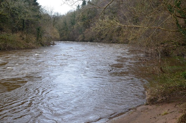
Image: © Jim Barton Taken: 25 Feb 2014
The Clyde Walkway from New Lanark descends to river level before the climb up to reach a minor road at Castlebank.
Images are licensed for reuse under creativecommons.org/licenses/by-sa/2.0
Image Location
Latitude
55.670652
Longitude
-3.791045