Trig point at High Trewhitt
Introduction
The photograph on this page of Trig point at High Trewhitt by Russel Wills as part of the Geograph project.
The Geograph project started in 2005 with the aim of publishing, organising and preserving representative images for every square kilometre of Great Britain, Ireland and the Isle of Man.

There are currently over 7.5m images from over 14,400 individuals and you can help contribute to the project by visiting https://www.geograph.org.uk
Trig point at High Trewhitt
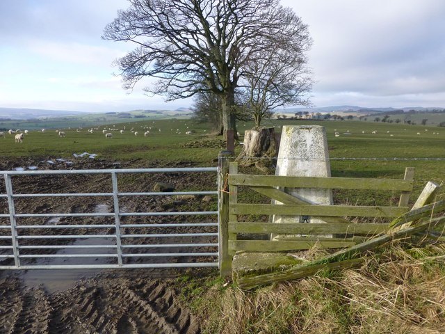
Image: © Russel Wills Taken: 1 Mar 2014
At 164m with a flush bracket number S3548. Well protected almost part of the fence. Looking towards Coquetdale.
Images are licensed for reuse under creativecommons.org/licenses/by-sa/2.0
Image Location


Leaflet Map data © OpenStreetMap
Latitude
55.340928
Longitude
-1.98389