Stream south of Larcombe
Introduction
The photograph on this page of Stream south of Larcombe by Derek Harper as part of the Geograph project.
The Geograph project started in 2005 with the aim of publishing, organising and preserving representative images for every square kilometre of Great Britain, Ireland and the Isle of Man.

There are currently over 7.5m images from over 14,400 individuals and you can help contribute to the project by visiting https://www.geograph.org.uk
Stream south of Larcombe
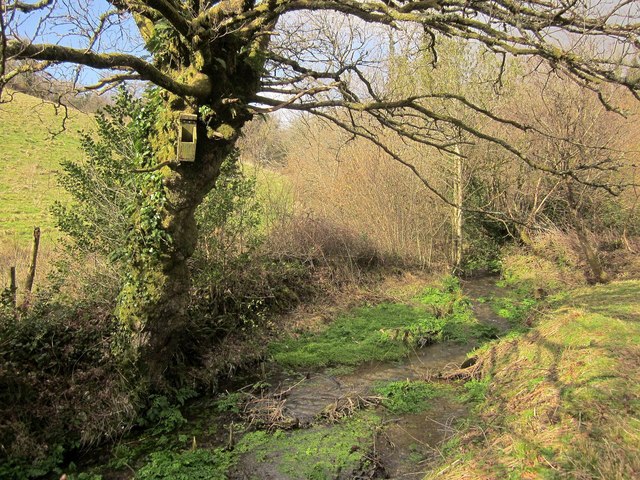
Image: © Derek Harper Taken: 26 Feb 2014
Looking up the stream that Image] looks down, with a waterside home for some creature that look as if it needs some restoration. The stream forms the parish boundary between Diptford (left) and Harberton.
Images are licensed for reuse under creativecommons.org/licenses/by-sa/2.0
Image Location
Latitude
50.407674
Longitude
-3.758058