The seawall, Ballyreagh near Newtownards
Introduction
The photograph on this page of The seawall, Ballyreagh near Newtownards by Albert Bridge as part of the Geograph project.
The Geograph project started in 2005 with the aim of publishing, organising and preserving representative images for every square kilometre of Great Britain, Ireland and the Isle of Man.

There are currently over 7.5m images from over 14,400 individuals and you can help contribute to the project by visiting https://www.geograph.org.uk
The seawall, Ballyreagh near Newtownards
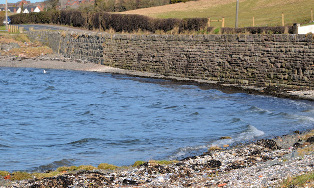
Image: © Albert Bridge Taken: 28 Feb 2014
There are several places, along the eastern shore of Strangford Lough, where the Portaferry – Newtownards road runs very close to the sea. In this case the seawall also seems to act as a retaining wall for the road.
Images are licensed for reuse under creativecommons.org/licenses/by-sa/2.0
Image Location
Latitude
54.577024
Longitude
-5.668776