Lowdham, Notts.
Introduction
The photograph on this page of Lowdham, Notts. by David Hallam-Jones as part of the Geograph project.
The Geograph project started in 2005 with the aim of publishing, organising and preserving representative images for every square kilometre of Great Britain, Ireland and the Isle of Man.

There are currently over 7.5m images from over 14,400 individuals and you can help contribute to the project by visiting https://www.geograph.org.uk
Lowdham, Notts.
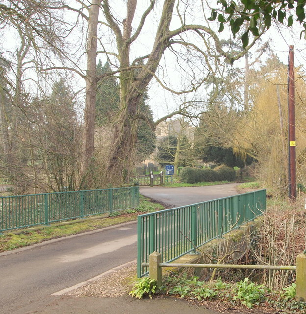
Image: © David Hallam-Jones Taken: 28 Feb 2014
This bridge on Church Lane carries traffic across Cocker Beck, passes the entrance gates to the parish church of St Mary the Virgin and then continues uphill for a further 200 metres until it reaches (the newer) graveyard extension situated at the conclusion of this cul-de-sac. This tributary arises in the Lambley Dumbles, passes through Lowdham and joins the River Trent at Gunthorpe.
Images are licensed for reuse under creativecommons.org/licenses/by-sa/2.0
Image Location
Latitude
53.014039
Longitude
-1.012176