Lowdham, Notts.
Introduction
The photograph on this page of Lowdham, Notts. by David Hallam-Jones as part of the Geograph project.
The Geograph project started in 2005 with the aim of publishing, organising and preserving representative images for every square kilometre of Great Britain, Ireland and the Isle of Man.

There are currently over 7.5m images from over 14,400 individuals and you can help contribute to the project by visiting https://www.geograph.org.uk
Lowdham, Notts.
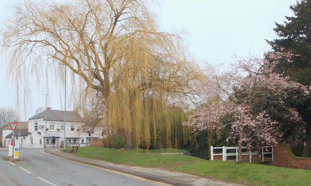
Image: © David Hallam-Jones Taken: 28 Feb 2014
The Magna Charta, a former coaching inn, at the side of the Nottingham-Southwell road (i.e. the A612) is seen here from the northern end of Station Road. The section of Lowdham that boasts its shops, its library, its primary school and its medical centre are to be found on Main Street on the other side of Southwell Road (ahead).
Images are licensed for reuse under creativecommons.org/licenses/by-sa/2.0
Image Location
Latitude
53.008731
Longitude
-1.000822