Bitham Brook
Introduction
The photograph on this page of Bitham Brook by Neil Owen as part of the Geograph project.
The Geograph project started in 2005 with the aim of publishing, organising and preserving representative images for every square kilometre of Great Britain, Ireland and the Isle of Man.

There are currently over 7.5m images from over 14,400 individuals and you can help contribute to the project by visiting https://www.geograph.org.uk
Bitham Brook
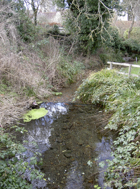
Image: © Neil Owen Taken: 26 Feb 2014
The area around this part of Westbury has provided lots of spring water, enough to allow mills to be built close by.
Images are licensed for reuse under creativecommons.org/licenses/by-sa/2.0
Image Location
Latitude
51.261439
Longitude
-2.180813