East Malling War Memorial and a flooded Church Walk
Introduction
The photograph on this page of East Malling War Memorial and a flooded Church Walk by Marathon as part of the Geograph project.
The Geograph project started in 2005 with the aim of publishing, organising and preserving representative images for every square kilometre of Great Britain, Ireland and the Isle of Man.

There are currently over 7.5m images from over 14,400 individuals and you can help contribute to the project by visiting https://www.geograph.org.uk
East Malling War Memorial and a flooded Church Walk
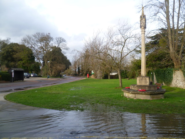
Image: © Marathon Taken: 23 Feb 2014
A stream passes under Church Walk, East Malling but after the wettest winter on record it has come to the surface and created this large lake by the war memorial. See also http://www.geograph.org.uk/photo/3865755 and http://www.geograph.org.uk/photo/3865752
Images are licensed for reuse under creativecommons.org/licenses/by-sa/2.0
Image Location
Latitude
51.287698
Longitude
0.439237