St Luke's Road
Introduction
The photograph on this page of St Luke's Road by Daniel Karmy as part of the Geograph project.
The Geograph project started in 2005 with the aim of publishing, organising and preserving representative images for every square kilometre of Great Britain, Ireland and the Isle of Man.

There are currently over 7.5m images from over 14,400 individuals and you can help contribute to the project by visiting https://www.geograph.org.uk
St Luke's Road
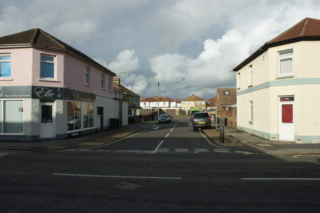
Image: © Daniel Karmy Taken: 18 Feb 2014
More from my photo-walk of 18 February this year, where I travelled through Forton to Ann's Hill Cemetery. Here's St Luke's Road, the final photo from this walk. I also took several photos of the stones in the cemetery, but I'm unsure as to how much they'd contribute towards the overall aim of the project. You can find those in my Flickr photostream here: www.flickr.com/photos/dank147 .
Images are licensed for reuse under creativecommons.org/licenses/by-sa/2.0
Image Location
Latitude
50.803101
Longitude
-1.147359