Greetland, West Vale, school and church
Introduction
The photograph on this page of Greetland, West Vale, school and church by Humphrey Bolton as part of the Geograph project.
The Geograph project started in 2005 with the aim of publishing, organising and preserving representative images for every square kilometre of Great Britain, Ireland and the Isle of Man.

There are currently over 7.5m images from over 14,400 individuals and you can help contribute to the project by visiting https://www.geograph.org.uk
Greetland, West Vale, school and church
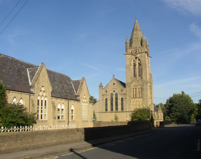
Image: © Humphrey Bolton Taken: Unknown
The old part of Greetland was strung out along what is now the B6113 to the west. In the late 19C a new town known as West Vale developed in the valley, and a school and church were built (SE097213). The name stems from being at the western end of Elland, although it is at the eastern end of Greetland which was an independent authority only from 1894 to 1937.
Images are licensed for reuse under creativecommons.org/licenses/by-sa/2.0
Image Location


Leaflet Map data © OpenStreetMap
Latitude
53.689865
Longitude
-1.85762