South side of Eglwys Llanbeblig, Caernarfon
Introduction
The photograph on this page of South side of Eglwys Llanbeblig, Caernarfon by Jaggery as part of the Geograph project.
The Geograph project started in 2005 with the aim of publishing, organising and preserving representative images for every square kilometre of Great Britain, Ireland and the Isle of Man.

There are currently over 7.5m images from over 14,400 individuals and you can help contribute to the project by visiting https://www.geograph.org.uk
South side of Eglwys Llanbeblig, Caernarfon
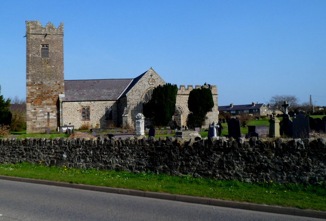
Image: © Jaggery Taken: 25 Mar 2012
Viewed across the A4085. Founded in the 5th century by St Peblig, the church is thought to occupy the site of the original Roman cemetery for the nearby Segontium fort. The present-day church dates mainly from the 14th century.
Images are licensed for reuse under creativecommons.org/licenses/by-sa/2.0
Image Location
Latitude
53.136147
Longitude
-4.26257