Donegall Quay, Belfast (February 2014)
Introduction
The photograph on this page of Donegall Quay, Belfast (February 2014) by Albert Bridge as part of the Geograph project.
The Geograph project started in 2005 with the aim of publishing, organising and preserving representative images for every square kilometre of Great Britain, Ireland and the Isle of Man.

There are currently over 7.5m images from over 14,400 individuals and you can help contribute to the project by visiting https://www.geograph.org.uk
Donegall Quay, Belfast (February 2014)
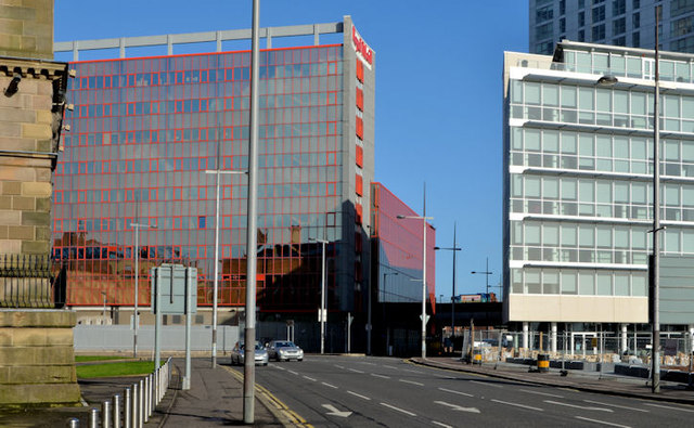
Image: © Albert Bridge Taken: 27 Feb 2014
See Image The same scene today. The buildings and changes are described in the link.
Images are licensed for reuse under creativecommons.org/licenses/by-sa/2.0
Image Location
Latitude
54.602401
Longitude
-5.922386