Floodwater flowing along The Causeway
Introduction
The photograph on this page of Floodwater flowing along The Causeway by John Baker as part of the Geograph project.
The Geograph project started in 2005 with the aim of publishing, organising and preserving representative images for every square kilometre of Great Britain, Ireland and the Isle of Man.

There are currently over 7.5m images from over 14,400 individuals and you can help contribute to the project by visiting https://www.geograph.org.uk
Floodwater flowing along The Causeway
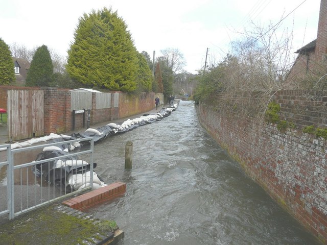
Image: © John Baker Taken: 5 Feb 2014
The Nail Bourne usually flows in a channel beside a path, as seen from the other direction Image, but here sandbags have been positioned to that pedestrians can gain access to properties along South Barham Road and Railway Hill.
Images are licensed for reuse under creativecommons.org/licenses/by-sa/2.0
Image Location
Latitude
51.202102
Longitude
1.156274