River Kennet in Winterbourne Monkton
Introduction
The photograph on this page of River Kennet in Winterbourne Monkton by Des Blenkinsopp as part of the Geograph project.
The Geograph project started in 2005 with the aim of publishing, organising and preserving representative images for every square kilometre of Great Britain, Ireland and the Isle of Man.

There are currently over 7.5m images from over 14,400 individuals and you can help contribute to the project by visiting https://www.geograph.org.uk
River Kennet in Winterbourne Monkton
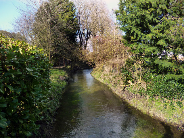
Image: © Des Blenkinsopp Taken: 26 Feb 2014
The river is looking very healthy just now after heavy winter rain. However, as "winterbourne" in the village name suggests, in this upper section there can be long periods when there is no water here at all, sometimes down as far as Marlborough.
Images are licensed for reuse under creativecommons.org/licenses/by-sa/2.0
Image Location
Latitude
51.451131
Longitude
-1.860361