Old access road, former RAF Oakley
Introduction
The photograph on this page of Old access road, former RAF Oakley by Robin Webster as part of the Geograph project.
The Geograph project started in 2005 with the aim of publishing, organising and preserving representative images for every square kilometre of Great Britain, Ireland and the Isle of Man.

There are currently over 7.5m images from over 14,400 individuals and you can help contribute to the project by visiting https://www.geograph.org.uk
Old access road, former RAF Oakley
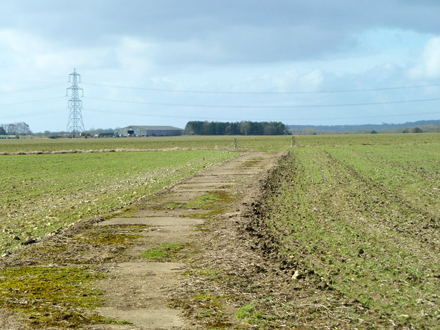
Image: © Robin Webster Taken: 22 Feb 2014
This connected with the perimeter road at the posts. It is now a public bridleway, turning left to run along the perimeter road. Just about all of the concrete roads and runways of the airfield are intact, although not used for aviation.
Images are licensed for reuse under creativecommons.org/licenses/by-sa/2.0
Image Location
Latitude
51.78605
Longitude
-1.068795