Cwmaman Community Centre
Introduction
The photograph on this page of Cwmaman Community Centre by Jaggery as part of the Geograph project.
The Geograph project started in 2005 with the aim of publishing, organising and preserving representative images for every square kilometre of Great Britain, Ireland and the Isle of Man.

There are currently over 7.5m images from over 14,400 individuals and you can help contribute to the project by visiting https://www.geograph.org.uk
Cwmaman Community Centre
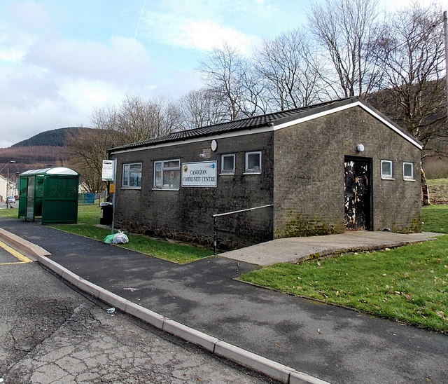
Image: © Jaggery Taken: 22 Feb 2014
Located near the western edge of Cwmaman, on the south side of Glanrhyd Street. The bus shelter is at a terminus, the turning point for bus services.
Images are licensed for reuse under creativecommons.org/licenses/by-sa/2.0
Image Location
Latitude
51.685599
Longitude
-3.454732