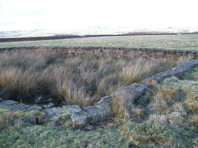
Stone structure near Raven Rock Farm
Introduction
The photograph on this page of Stone structure near Raven Rock Farm by Derek Haslam as part of the Geograph project.
The Geograph project started in 2005 with the aim of publishing, organising and preserving representative images for every square kilometre of Great Britain, Ireland and the Isle of Man.
There are currently over 7.5m images from over 14,400 individuals and you can help contribute to the project by visiting https://www.geograph.org.uk

Image: © Derek Haslam Taken: 24 Feb 2014
This rectangular stone structure is described on the 1:2500 OS map as a "Tank". It lies beside the footpath from Raven Rock to Great Hill farm, at the far side of the second field over from Raven Rock. It has been there a long time as it also appears on the 1st edition map of this scale. It was once surrounded by iron railings the bases of which, set in lead, can be seen. The railings themselves would have been requisitioned for the metal during WW II. There's no sign of channels draining into or out of the "tank" so what could have been its purpose? Any information would be gratefully received.

