Berriewood
Introduction
The photograph on this page of Berriewood by Richard Webb as part of the Geograph project.
The Geograph project started in 2005 with the aim of publishing, organising and preserving representative images for every square kilometre of Great Britain, Ireland and the Isle of Man.

There are currently over 7.5m images from over 14,400 individuals and you can help contribute to the project by visiting https://www.geograph.org.uk
Berriewood
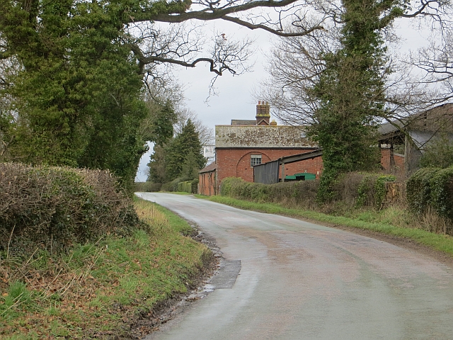
Image: © Richard Webb Taken: 17 Feb 2014
Beyond the buildings there is the site of a World War II RAF base and later prisoner of war camp.
Images are licensed for reuse under creativecommons.org/licenses/by-sa/2.0
Image Location
Latitude
52.632107
Longitude
-2.733842