Southern boundary of Cwmbach
Introduction
The photograph on this page of Southern boundary of Cwmbach by Jaggery as part of the Geograph project.
The Geograph project started in 2005 with the aim of publishing, organising and preserving representative images for every square kilometre of Great Britain, Ireland and the Isle of Man.

There are currently over 7.5m images from over 14,400 individuals and you can help contribute to the project by visiting https://www.geograph.org.uk
Southern boundary of Cwmbach
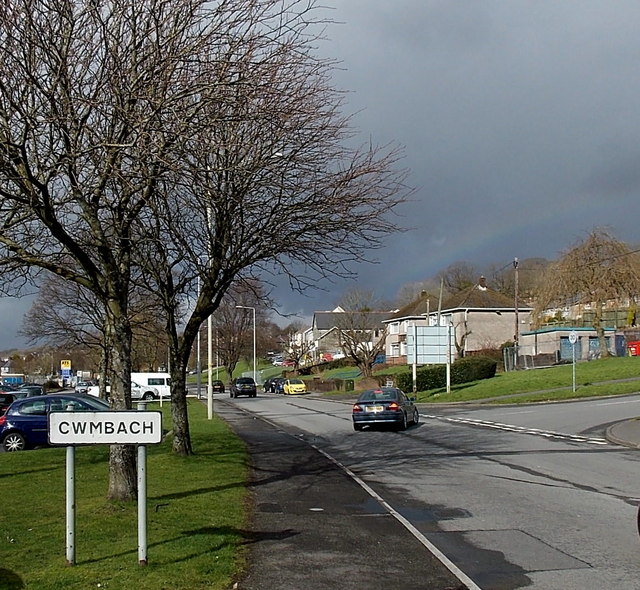
Image: © Jaggery Taken: 26 Feb 2014
Viewed along Canal Road near the A4059 roundabout. Cwmbach is a village near Aberdare in the county borough of Rhondda Cynon Taf.
Images are licensed for reuse under creativecommons.org/licenses/by-sa/2.0
Image Location
Latitude
51.702024
Longitude
-3.413003