Stanhill Trig Point
Introduction
The photograph on this page of Stanhill Trig Point by Rude Health as part of the Geograph project.
The Geograph project started in 2005 with the aim of publishing, organising and preserving representative images for every square kilometre of Great Britain, Ireland and the Isle of Man.

There are currently over 7.5m images from over 14,400 individuals and you can help contribute to the project by visiting https://www.geograph.org.uk
Stanhill Trig Point
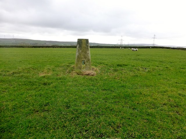
Image: © Rude Health Taken: 26 Feb 2014
Used footpath to see trig. Field in private sheep field. Asked permission from man beside 4 wheel drive vehicle. Granted so over one gate and through a second gate while man watched on. He then opened the gate for me on the way down. Footpath well signed by notices posted by Higher Stanhill Farm.
Images are licensed for reuse under creativecommons.org/licenses/by-sa/2.0
Image Location
Latitude
53.747726
Longitude
-2.419845