Cottages, Balmer
Introduction
The photograph on this page of Cottages, Balmer by Simon Carey as part of the Geograph project.
The Geograph project started in 2005 with the aim of publishing, organising and preserving representative images for every square kilometre of Great Britain, Ireland and the Isle of Man.

There are currently over 7.5m images from over 14,400 individuals and you can help contribute to the project by visiting https://www.geograph.org.uk
Cottages, Balmer
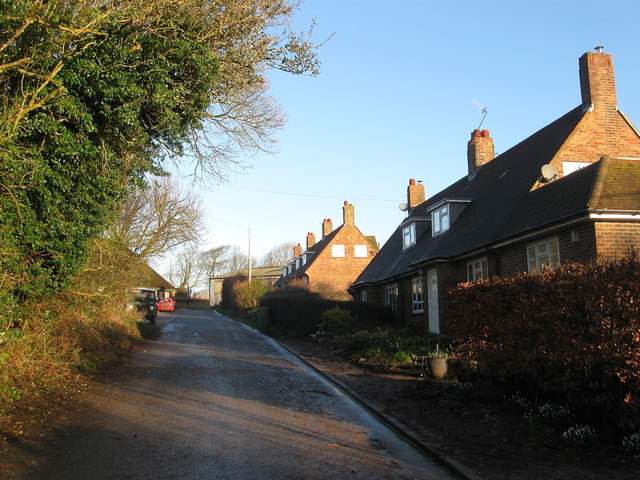
Image: © Simon Carey Taken: 22 Feb 2014
These five cottages plus a house to the south called Balmer make up the current hamlet though they were all built after the Second World War. To the north is Balmer Farm which also seems to have been rebuilt at the same time with the old farm house and any other structures disappearing either during the conflict or just after when Brighton Council became landlords. The cottages are built on an area called Balmer Green according to Falmer's 1840 tithe map which included the former village pond, now long gone. Balmer (Pronounced 'Bormer') was once a flourishing medieval village whose estate was ones by nearby Lewe Priory and contained its own chapel which survived until the 16th century when it was demolished the settlement having become depopulated probably due to a number of practices; changes in the medieval downland economy whereby the less labour intensive sheep farming became a far more profitable venture than arable farming and a few visitations of plague. By the 19th century only the farm remained.
Images are licensed for reuse under creativecommons.org/licenses/by-sa/2.0
Image Location
Latitude
50.872185
Longitude
-0.07006