Farmland near Ruardean Woodside
Introduction
The photograph on this page of Farmland near Ruardean Woodside by Stuart Wilding as part of the Geograph project.
The Geograph project started in 2005 with the aim of publishing, organising and preserving representative images for every square kilometre of Great Britain, Ireland and the Isle of Man.

There are currently over 7.5m images from over 14,400 individuals and you can help contribute to the project by visiting https://www.geograph.org.uk
Farmland near Ruardean Woodside
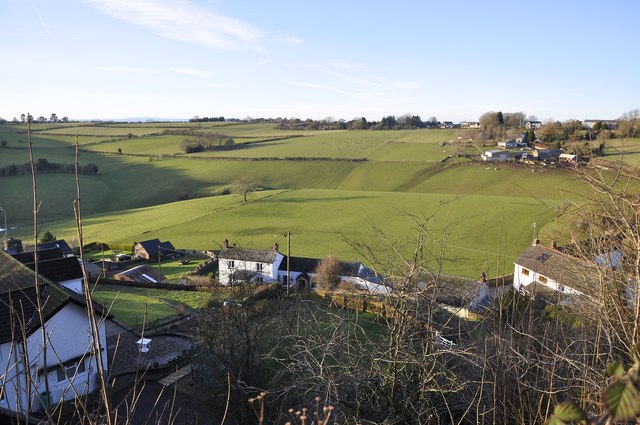
Image: © Stuart Wilding Taken: 11 Jan 2014
Looking over the houses on the Northern edge of Ruardean Woodside.
Images are licensed for reuse under creativecommons.org/licenses/by-sa/2.0
Image Location
Latitude
51.848798
Longitude
-2.545803