Horncliffe Wood Farm
Introduction
The photograph on this page of Horncliffe Wood Farm by Paul Anderson as part of the Geograph project.
The Geograph project started in 2005 with the aim of publishing, organising and preserving representative images for every square kilometre of Great Britain, Ireland and the Isle of Man.

There are currently over 7.5m images from over 14,400 individuals and you can help contribute to the project by visiting https://www.geograph.org.uk
Horncliffe Wood Farm
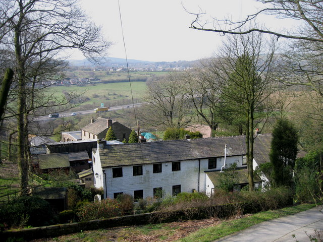
Image: © Paul Anderson Taken: 2 Apr 2007
Built in 1718 Horncliffe Wood Farm is just off the old Bury road between Edenfield and Rawtenstall. The A56 Image can be seen in the background.
Images are licensed for reuse under creativecommons.org/licenses/by-sa/2.0
Image Location
Latitude
53.684984
Longitude
-2.302179