Whitehall Bridge, Canterbury
Introduction
The photograph on this page of Whitehall Bridge, Canterbury by David Anstiss as part of the Geograph project.
The Geograph project started in 2005 with the aim of publishing, organising and preserving representative images for every square kilometre of Great Britain, Ireland and the Isle of Man.

There are currently over 7.5m images from over 14,400 individuals and you can help contribute to the project by visiting https://www.geograph.org.uk
Whitehall Bridge, Canterbury
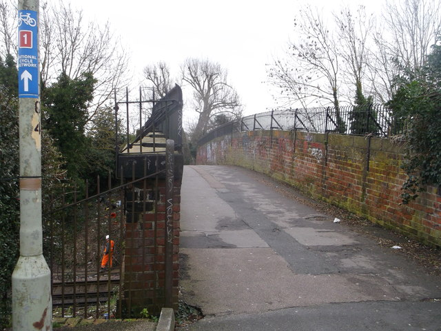
Image: © David Anstiss Taken: 17 Feb 2014
Railway bridge over the section of line between Canterbury West and Chartham. The bridge is also used by National Cycle Route 1 (leading to Fordwich through Canterbury).
Images are licensed for reuse under creativecommons.org/licenses/by-sa/2.0
Image Location
Latitude
51.280827
Longitude
1.071029