Bullocks in woodland
Introduction
The photograph on this page of Bullocks in woodland by Espresso Addict as part of the Geograph project.
The Geograph project started in 2005 with the aim of publishing, organising and preserving representative images for every square kilometre of Great Britain, Ireland and the Isle of Man.

There are currently over 7.5m images from over 14,400 individuals and you can help contribute to the project by visiting https://www.geograph.org.uk
Bullocks in woodland
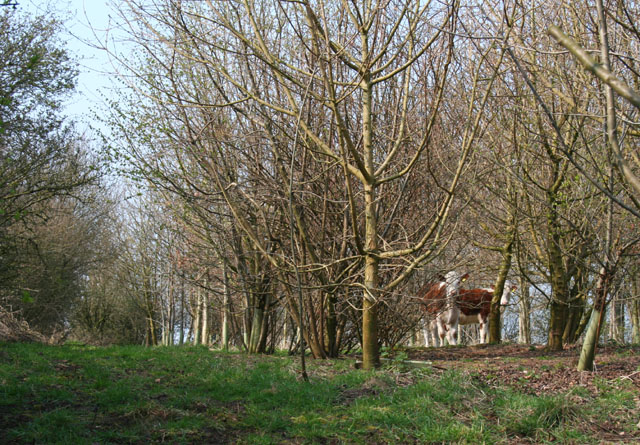
Image: © Espresso Addict Taken: 31 Mar 2007
The public footpath (left) between Winsford Road and Stoke Hall Farm runs through a band of recently planted deciduous woodland (not shown on the OS 1:25,000 map), on top of a 55m rise in cattle pasture. A trig point is concealed by the trees (see Image)
Images are licensed for reuse under creativecommons.org/licenses/by-sa/2.0
Image Location


Leaflet Map data © OpenStreetMap
Latitude
53.106932
Longitude
-2.551448