Towards Pen Cerrig-calch
Introduction
The photograph on this page of Towards Pen Cerrig-calch by Stuart Wilding as part of the Geograph project.
The Geograph project started in 2005 with the aim of publishing, organising and preserving representative images for every square kilometre of Great Britain, Ireland and the Isle of Man.

There are currently over 7.5m images from over 14,400 individuals and you can help contribute to the project by visiting https://www.geograph.org.uk
Towards Pen Cerrig-calch
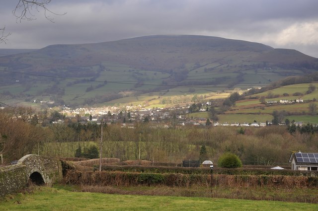
Image: © Stuart Wilding Taken: 19 Jan 2014
The bridge is 110 on the Monmouthshire and Brecon Canal whilst Pen Cerrig-calch rises in the distance.
Images are licensed for reuse under creativecommons.org/licenses/by-sa/2.0
Image Location
Latitude
51.843805
Longitude
-3.13219