Drainage Channel
Introduction
The photograph on this page of Drainage Channel by Dennis Turner as part of the Geograph project.
The Geograph project started in 2005 with the aim of publishing, organising and preserving representative images for every square kilometre of Great Britain, Ireland and the Isle of Man.

There are currently over 7.5m images from over 14,400 individuals and you can help contribute to the project by visiting https://www.geograph.org.uk
Drainage Channel
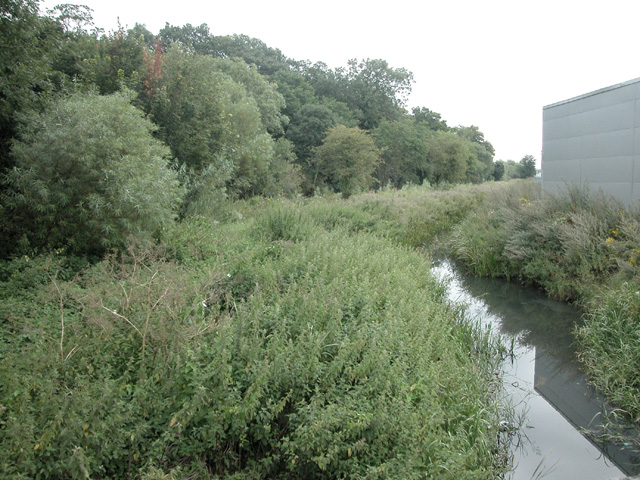
Image: © Dennis Turner Taken: 16 Aug 2005
On the southern edge of the square, the area is marked on OS maps as Osier beds. Until the River Dee was canalised and the land was drained, it is believed that the river presently 1km south of here, reached this point. To the west of here, the land rises and on some maps the area is Blacon Point.
Images are licensed for reuse under creativecommons.org/licenses/by-sa/2.0
Image Location
Latitude
53.200885
Longitude
-2.937091