Wheat field near Aston Lower Hall
Introduction
The photograph on this page of Wheat field near Aston Lower Hall by Espresso Addict as part of the Geograph project.
The Geograph project started in 2005 with the aim of publishing, organising and preserving representative images for every square kilometre of Great Britain, Ireland and the Isle of Man.

There are currently over 7.5m images from over 14,400 individuals and you can help contribute to the project by visiting https://www.geograph.org.uk
Wheat field near Aston Lower Hall
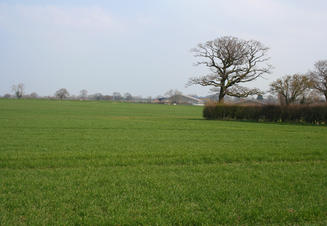
Image: © Espresso Addict Taken: 31 Mar 2007
Large flat arable field planted with wheat; typical of the land use of the gridsquare east of the Winsford Road. The hedge on the right conceals a narrow brook or drainage ditch. Aston Lower Hall (in Image) is in the distance. View from the public footpath between Winsford Road and Dairy Lane
Images are licensed for reuse under creativecommons.org/licenses/by-sa/2.0
Image Location
Latitude
53.101932
Longitude
-2.544065