Down Thornhill Road
Introduction
The photograph on this page of Down Thornhill Road by Richard Law as part of the Geograph project.
The Geograph project started in 2005 with the aim of publishing, organising and preserving representative images for every square kilometre of Great Britain, Ireland and the Isle of Man.

There are currently over 7.5m images from over 14,400 individuals and you can help contribute to the project by visiting https://www.geograph.org.uk
Down Thornhill Road
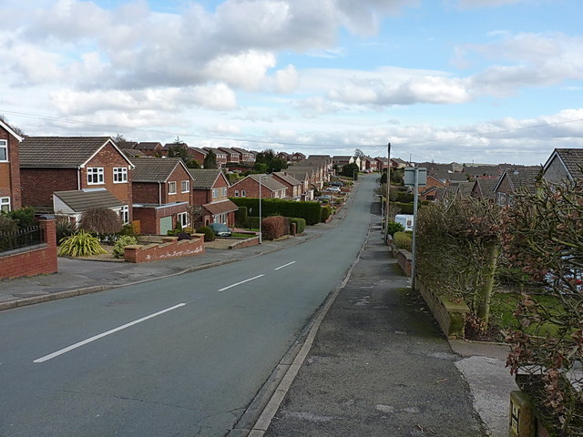
Image: © Richard Law Taken: 22 Feb 2014
Looking down this main feeder into the housing estate, with Kenmore Avenue and Image leading off to the left/north.
Images are licensed for reuse under creativecommons.org/licenses/by-sa/2.0
Image Location
Latitude
52.716724
Longitude
-2.019794