Old A28 road at Derrywilligan
Introduction
The photograph on this page of Old A28 road at Derrywilligan by Dean Molyneaux as part of the Geograph project.
The Geograph project started in 2005 with the aim of publishing, organising and preserving representative images for every square kilometre of Great Britain, Ireland and the Isle of Man.

There are currently over 7.5m images from over 14,400 individuals and you can help contribute to the project by visiting https://www.geograph.org.uk
Old A28 road at Derrywilligan
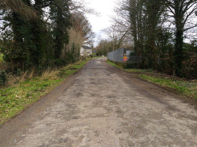
Image: © Dean Molyneaux Taken: 24 Feb 2014
This is part of the old Newry-Armagh road (A28), which was upgraded in the 1960s, eliminating a number of narrow sections and dangerous junctions and creating a much wider and safe single carriageway. This section is now used for access to properties. The townland is Derrywilligan.
Images are licensed for reuse under creativecommons.org/licenses/by-sa/2.0
Image Location
Latitude
54.220283
Longitude
-6.387497