Carrivekeeney Road, Corrinshigo
Introduction
The photograph on this page of Carrivekeeney Road, Corrinshigo by Dean Molyneaux as part of the Geograph project.
The Geograph project started in 2005 with the aim of publishing, organising and preserving representative images for every square kilometre of Great Britain, Ireland and the Isle of Man.

There are currently over 7.5m images from over 14,400 individuals and you can help contribute to the project by visiting https://www.geograph.org.uk
Carrivekeeney Road, Corrinshigo
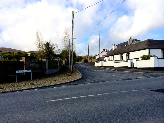
Image: © Dean Molyneaux Taken: 24 Feb 2014
The Carrivekeeney Road leads east from the Chancellors Road into Camlough village. Townland of Corrinshigo.
Images are licensed for reuse under creativecommons.org/licenses/by-sa/2.0
Image Location
Latitude
54.17605
Longitude
-6.36548