Whitestreet Green
Introduction
The photograph on this page of Whitestreet Green by Hamish Griffin as part of the Geograph project.
The Geograph project started in 2005 with the aim of publishing, organising and preserving representative images for every square kilometre of Great Britain, Ireland and the Isle of Man.

There are currently over 7.5m images from over 14,400 individuals and you can help contribute to the project by visiting https://www.geograph.org.uk
Whitestreet Green
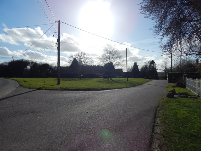
Image: © Hamish Griffin Taken: 22 Feb 2014
Whitestreet Green village green. The road to the left is Spring Lane which is a dead end.
Images are licensed for reuse under creativecommons.org/licenses/by-sa/2.0
Image Location


Leaflet Map data © OpenStreetMap
Latitude
52.018562
Longitude
0.877605