Waterlogged field, north of Cobcroft Lane
Introduction
The photograph on this page of Waterlogged field, north of Cobcroft Lane by Christine Johnstone as part of the Geograph project.
The Geograph project started in 2005 with the aim of publishing, organising and preserving representative images for every square kilometre of Great Britain, Ireland and the Isle of Man.

There are currently over 7.5m images from over 14,400 individuals and you can help contribute to the project by visiting https://www.geograph.org.uk
Waterlogged field, north of Cobcroft Lane
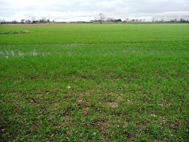
Image: © Christine Johnstone Taken: 19 Feb 2014
The public footpath to Cridling Park is mapped across this field.
Images are licensed for reuse under creativecommons.org/licenses/by-sa/2.0
Image Location
Latitude
53.687835
Longitude
-1.216047