Houses along Coed-Y-Pia
Introduction
The photograph on this page of Houses along Coed-Y-Pia by Des Blenkinsopp as part of the Geograph project.
The Geograph project started in 2005 with the aim of publishing, organising and preserving representative images for every square kilometre of Great Britain, Ireland and the Isle of Man.

There are currently over 7.5m images from over 14,400 individuals and you can help contribute to the project by visiting https://www.geograph.org.uk
Houses along Coed-Y-Pia
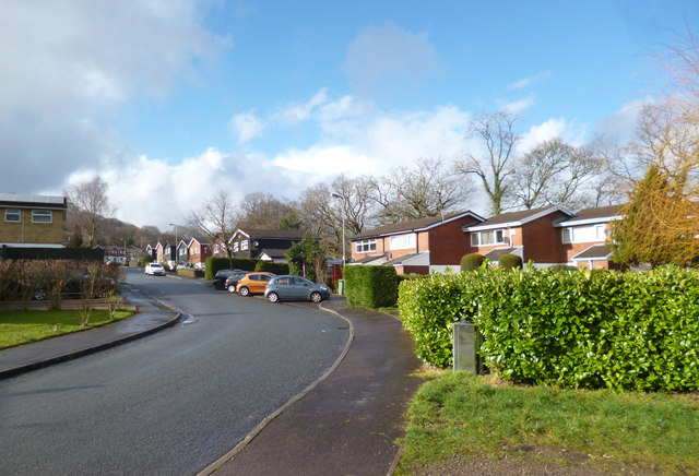
Image: © Des Blenkinsopp Taken: 20 Feb 2014
For some reason I quite like the "street name explained" tag, and Welsh roads are a good excuse to use it. According to the translator, Coed-Y-Pia means Magpie Wood.
Images are licensed for reuse under creativecommons.org/licenses/by-sa/2.0
Image Location
Latitude
51.623097
Longitude
-3.227229