Southern Ring Road, University of Sussex
Introduction
The photograph on this page of Southern Ring Road, University of Sussex by Simon Carey as part of the Geograph project.
The Geograph project started in 2005 with the aim of publishing, organising and preserving representative images for every square kilometre of Great Britain, Ireland and the Isle of Man.

There are currently over 7.5m images from over 14,400 individuals and you can help contribute to the project by visiting https://www.geograph.org.uk
Southern Ring Road, University of Sussex
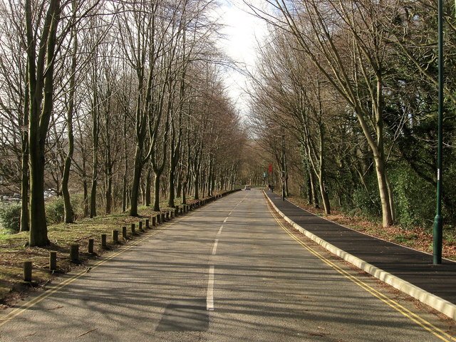
Image: © Simon Carey Taken: 16 Feb 2014
This road was added when one of the original entrances to the campus, at the bottom of the slope where the road makes a ninety degree turn to the north, was blocked off during the construction of the new A27 Falmer diversion route during the late 1970s. The road links much of the campus with the current entrance on Knights Gate Road.
Images are licensed for reuse under creativecommons.org/licenses/by-sa/2.0
Image Location
Latitude
50.863535
Longitude
-0.085481