A16 junction by Calceby Beck
Introduction
The photograph on this page of A16 junction by Calceby Beck by Chris as part of the Geograph project.
The Geograph project started in 2005 with the aim of publishing, organising and preserving representative images for every square kilometre of Great Britain, Ireland and the Isle of Man.

There are currently over 7.5m images from over 14,400 individuals and you can help contribute to the project by visiting https://www.geograph.org.uk
A16 junction by Calceby Beck
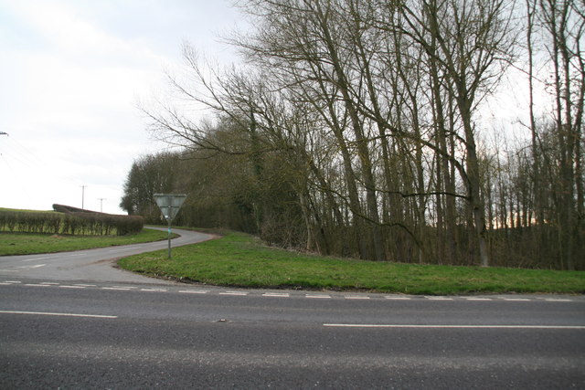
Image: © Chris Taken: 22 Feb 2014
The road ahead goes to Calceby. There is a steep descent on the right to a wooded wetland area.
Images are licensed for reuse under creativecommons.org/licenses/by-sa/2.0
Image Location


Leaflet Map data © OpenStreetMap
Latitude
53.263473
Longitude
0.084781