White Pit Way alongside the A16
Introduction
The photograph on this page of White Pit Way alongside the A16 by Chris as part of the Geograph project.
The Geograph project started in 2005 with the aim of publishing, organising and preserving representative images for every square kilometre of Great Britain, Ireland and the Isle of Man.

There are currently over 7.5m images from over 14,400 individuals and you can help contribute to the project by visiting https://www.geograph.org.uk
White Pit Way alongside the A16
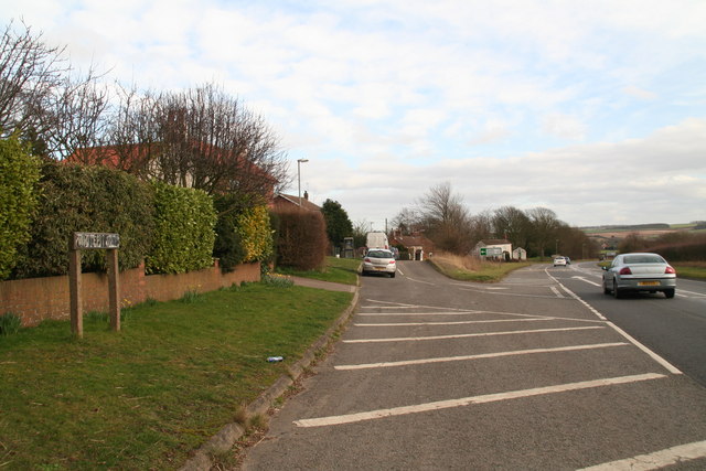
Image: © Chris Taken: 22 Feb 2014
White Pit is the area marked on the map here. There is a small pit to the south of Pinfold Lane, and several other (chalk pits) in the area.
Images are licensed for reuse under creativecommons.org/licenses/by-sa/2.0
Image Location
Latitude
53.273038
Longitude
0.067249