Trac Seiclo Pontaman Cycle Track
Introduction
The photograph on this page of Trac Seiclo Pontaman Cycle Track by Alan Richards as part of the Geograph project.
The Geograph project started in 2005 with the aim of publishing, organising and preserving representative images for every square kilometre of Great Britain, Ireland and the Isle of Man.

There are currently over 7.5m images from over 14,400 individuals and you can help contribute to the project by visiting https://www.geograph.org.uk
Trac Seiclo Pontaman Cycle Track
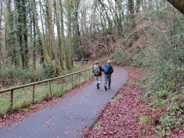
Image: © Alan Richards Taken: 9 Dec 2012
Cerddwyr yn dilyn trac seiclo o Lanaman at Bontaman. Walkers following a cycle track from Glanaman (trans. Aman riverside) to Pontaman (Aman bridge)
Images are licensed for reuse under creativecommons.org/licenses/by-sa/2.0
Image Location
Latitude
51.799573
Longitude
-3.964551