Site of pub, Southmead
Introduction
The photograph on this page of Site of pub, Southmead by Derek Harper as part of the Geograph project.
The Geograph project started in 2005 with the aim of publishing, organising and preserving representative images for every square kilometre of Great Britain, Ireland and the Isle of Man.

There are currently over 7.5m images from over 14,400 individuals and you can help contribute to the project by visiting https://www.geograph.org.uk
Site of pub, Southmead
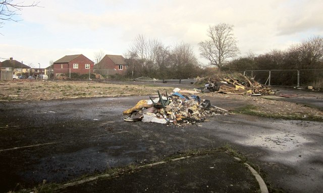
Image: © Derek Harper Taken: 22 Feb 2014
The Wayfarer, on Pen Park Road, has been demolished, after closing in May 2011. There are plans to build a Co-op supermarket on the site.
Images are licensed for reuse under creativecommons.org/licenses/by-sa/2.0
Image Location
Latitude
51.510461
Longitude
-2.599964