Pen Park, Southmead
Introduction
The photograph on this page of Pen Park, Southmead by Derek Harper as part of the Geograph project.
The Geograph project started in 2005 with the aim of publishing, organising and preserving representative images for every square kilometre of Great Britain, Ireland and the Isle of Man.

There are currently over 7.5m images from over 14,400 individuals and you can help contribute to the project by visiting https://www.geograph.org.uk
Pen Park, Southmead
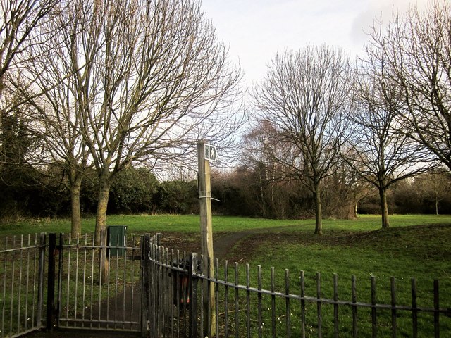
Image: © Derek Harper Taken: 22 Feb 2014
Footpath BCC/46/30 leaves Pen Park Road through the gate, although the mapped line of it doesn't correspond to the paved path. Pen Park Hole, a notable underground cavern http://en.wikipedia.org/wiki/Pen_Park_Hole , is screened by the trees in the background.
Images are licensed for reuse under creativecommons.org/licenses/by-sa/2.0
Image Location
Latitude
51.510014
Longitude
-2.599381