View northwest near Iveston
Introduction
The photograph on this page of View northwest near Iveston by Robert Graham as part of the Geograph project.
The Geograph project started in 2005 with the aim of publishing, organising and preserving representative images for every square kilometre of Great Britain, Ireland and the Isle of Man.

There are currently over 7.5m images from over 14,400 individuals and you can help contribute to the project by visiting https://www.geograph.org.uk
View northwest near Iveston
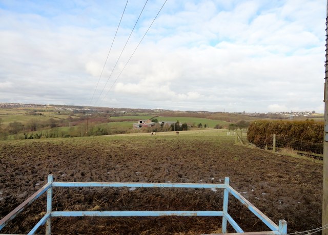
Image: © Robert Graham Taken: 19 Feb 2014
View from the top of the old road down to Stockerley Bridge. Looking over to Crookhall and Leadgate, with Woody Close Farm in the middle distance.
Images are licensed for reuse under creativecommons.org/licenses/by-sa/2.0
Image Location
Latitude
54.848145
Longitude
-1.796112