Military-looking building near Charndon
Introduction
The photograph on this page of Military-looking building near Charndon by Robin Webster as part of the Geograph project.
The Geograph project started in 2005 with the aim of publishing, organising and preserving representative images for every square kilometre of Great Britain, Ireland and the Isle of Man.

There are currently over 7.5m images from over 14,400 individuals and you can help contribute to the project by visiting https://www.geograph.org.uk
Military-looking building near Charndon
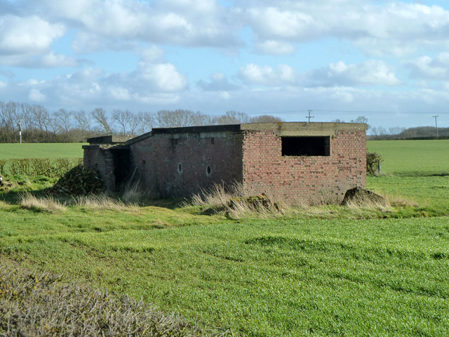
Image: © Robin Webster Taken: 22 Feb 2014
This looks like it might have been at a WWII airfield, but no airfield was here. What was this building's purpose, in apparent isolation? It certainly appeared on maps about the 1940s.
Images are licensed for reuse under creativecommons.org/licenses/by-sa/2.0
Image Location
Latitude
51.916985
Longitude
-1.016364