The Hangar, former RAF Oakley
Introduction
The photograph on this page of The Hangar, former RAF Oakley by Robin Webster as part of the Geograph project.
The Geograph project started in 2005 with the aim of publishing, organising and preserving representative images for every square kilometre of Great Britain, Ireland and the Isle of Man.

There are currently over 7.5m images from over 14,400 individuals and you can help contribute to the project by visiting https://www.geograph.org.uk
The Hangar, former RAF Oakley
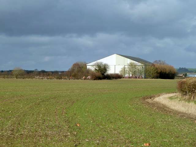
Image: © Robin Webster Taken: 22 Feb 2014
The airfield was to the left. It closed to flying in 1945, but the concrete runways remain in place. The hangar is now called 'The Hangar', and is used for commercial purposes.
Images are licensed for reuse under creativecommons.org/licenses/by-sa/2.0
Image Location
Latitude
51.789646
Longitude
-1.068721